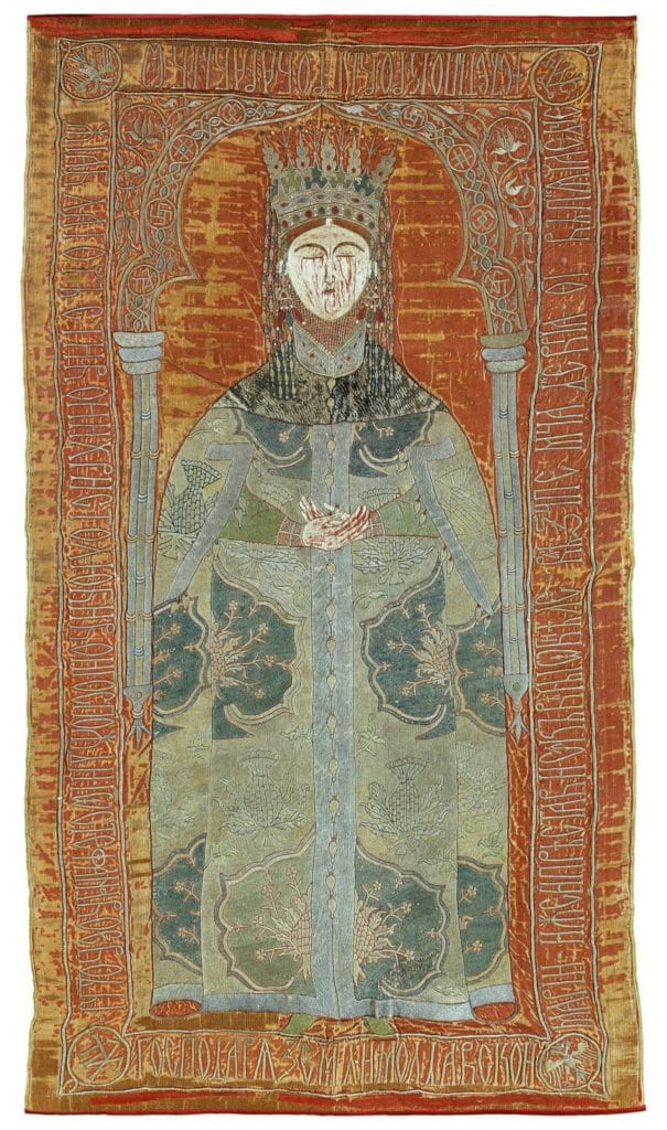
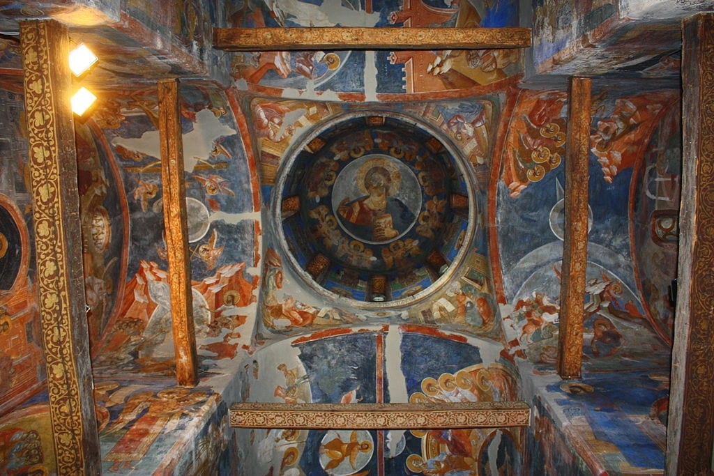
This summer, the Humanities Council began offering Rapid Response Magic Grants for projects that spark innovation and collaboration amid social distancing. Remedying limited access to libraries, conference networking opportunities, and published research, Mapping Eastern Europe in the 13th–17th Centuries offers simple and intuitive engagement with the art and history of the culturally rich, yet often enigmatic and neglected, territories of the Balkan Peninsula, the Carpathian Mountains, and further north into early modern Russia. Through the initiative, people will connect over the study and appreciation of the history, art, and culture of medieval and early modern Eastern Europe.
Mapping Eastern Europe leaders Maria Alessia Rossi (Art and Archaeology) and Alice Isabella Sullivan (University of Michigan) are constructing a new interactive website. Following the launch later this fall, students, teachers, scholars, and the wider public will be able to access historical overviews, art historical case studies, short notices about ongoing research projects, and reviews of recent books as well as exhibitions.
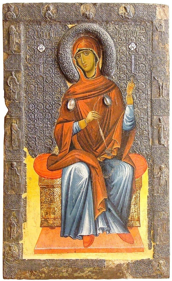
The project gathers a multitude of scholars, both early career and senior, to supply online content in several formats. The historical overviews concisely depict regions and their interactions with neighbors during the period in question, including supplementary political, economic, military, social, and religious details. The art historical case studies focus on the visual and material culture of the regions set against the backdrop of the historical context, as well as introduce methodological and theoretical questions. The short notices about ongoing research projects alert scholars about projects underway. Finally, the reviews of recent books and exhibitions enable readers to learn about current scholarship.
Via the homepage of Mapping Eastern Europe, users who are searching for specific details will be able to access individual pages for each of the main categories of information listed above and filter results according to their interests. Exploratory visitors, instead, can navigate a map of Eastern Europe in the lower half of the opening page, delving into and discovering the variety of sources and materials within.
Rossi and Sullivan, together with their designer and developer, Andrew Janco, began developing the platform in July. The interface builds on projects like Smarthistory and the Heilbrunn Timeline of Art History at the Metropolitan Museum of Art. By December, the team will have populated the site with about 60 historical overviews, case studies, short notices, and reviews. The content will be regularly updated, with contributions added every few months.

The project stems from Rossi and Sullivan’s joint initiative North of Byzantium, through which they invite people to probe the history, art, and culture of the northern frontiers of the Byzantine Empire in Eastern Europe between the thirteenth and seventeenth centuries. Mapping Eastern Europe aims to make the material evidence known and accessible, and thereby help expand the temporal and geographic parameters of the study of medieval, early modern, Byzantine, and post-Byzantine art, architecture, and visual culture.
